Faculty Research Overview
Latest Research News
Industry Leadership Council Annual Meeting identifies emerging opportunities
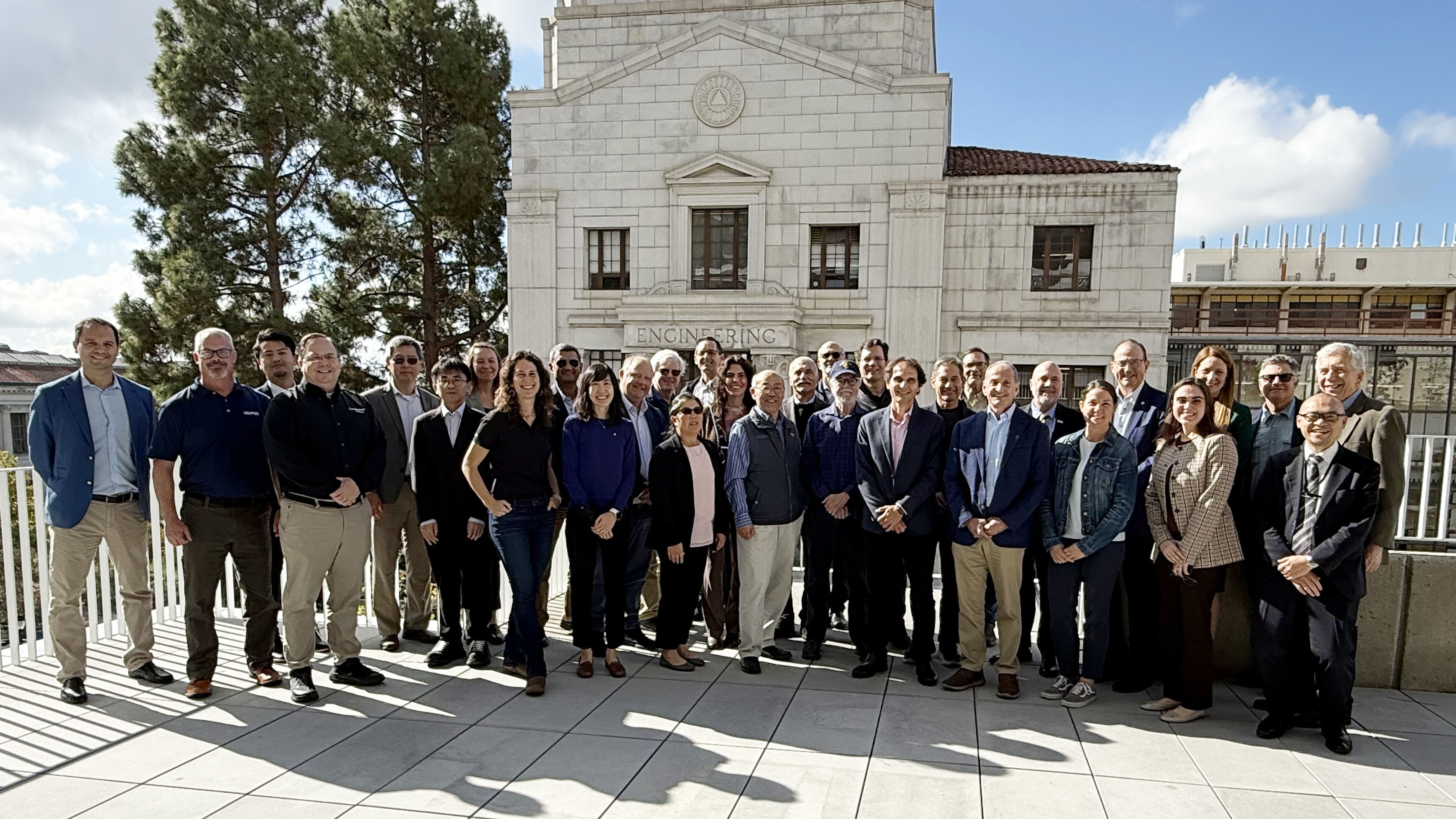
The Industry Leadership Council, an invitation-only gathering of the Geosystems Program faculty, corporate partners and industry leaders, and representatives of major federal, state, and other agencies, met on November 14, 2025 at UC Berkeley for its annual meeting. The morning agenda featured a comprehensive briefing on the Geosystems Program’s current status and forthcoming initiatives. Council participants examined progress across research ...
2025 GeoSymposium showcases research and looks at Risk
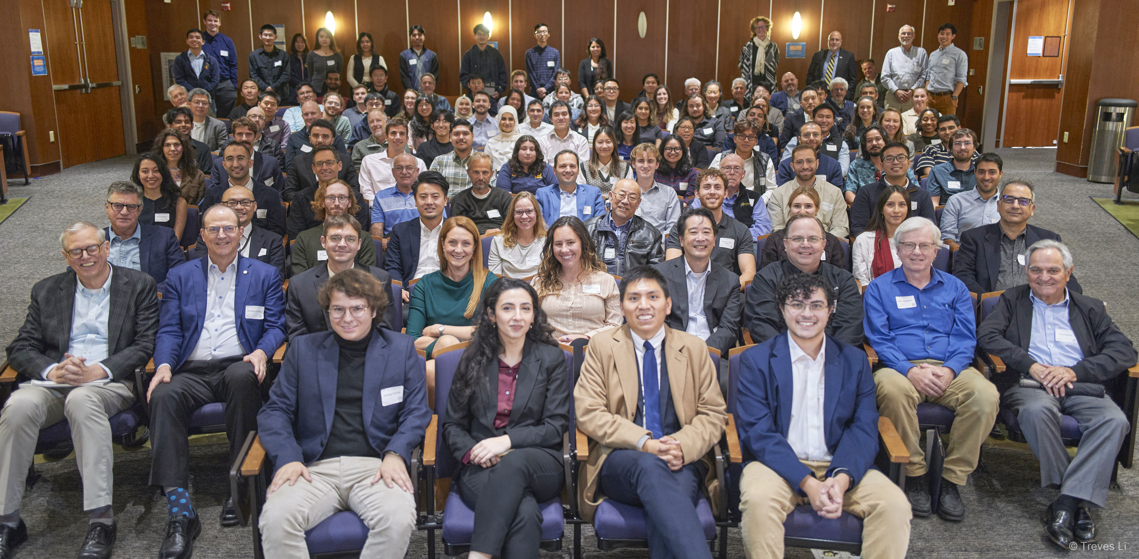
The 2025 Geotechnical Engineering Research Symposium (GeoSymposium) wrapped up this week successfully. Research presentations were delivered by PhD students Satuk Bugrahan Sari, Mirna Kassem, Parker Blunts, Bofei Xu, and Micaela Largent. Networking opportunities occurred during the poster session featuring 29 posters of students' research. Insights were provided from our industry panelists Norman Abrahamson of UC Berkeley, Victor Romero of Delve ...
Maksymilian Jasiak presents at SHMII-13 at TU Graz, Austria

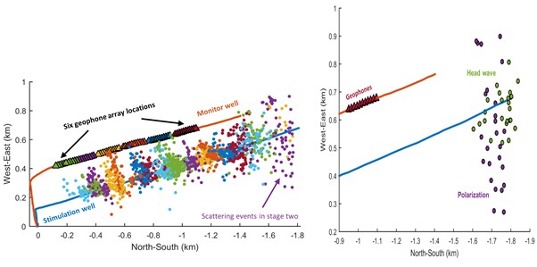
PhD candidate Maksymilian Jasiak presented “Water distribution pipeline anomaly detection using distributed acoustic sensing (DAS)” at the 13th International Conference on Structural Health Monitoring of Intelligent Infrastructure (September 1-5, 2025) hosted by TU Graz, Austria. This work was in collaboration with Shih-Hung Chiu, Jaewon Saw, Peter Hubbard, David Katzev, and Kenichi Soga. Read the article for key takeaways. ...
Dimitrios Zekkos co-leads new 5-yr NSF Center on Geohazard Cascades
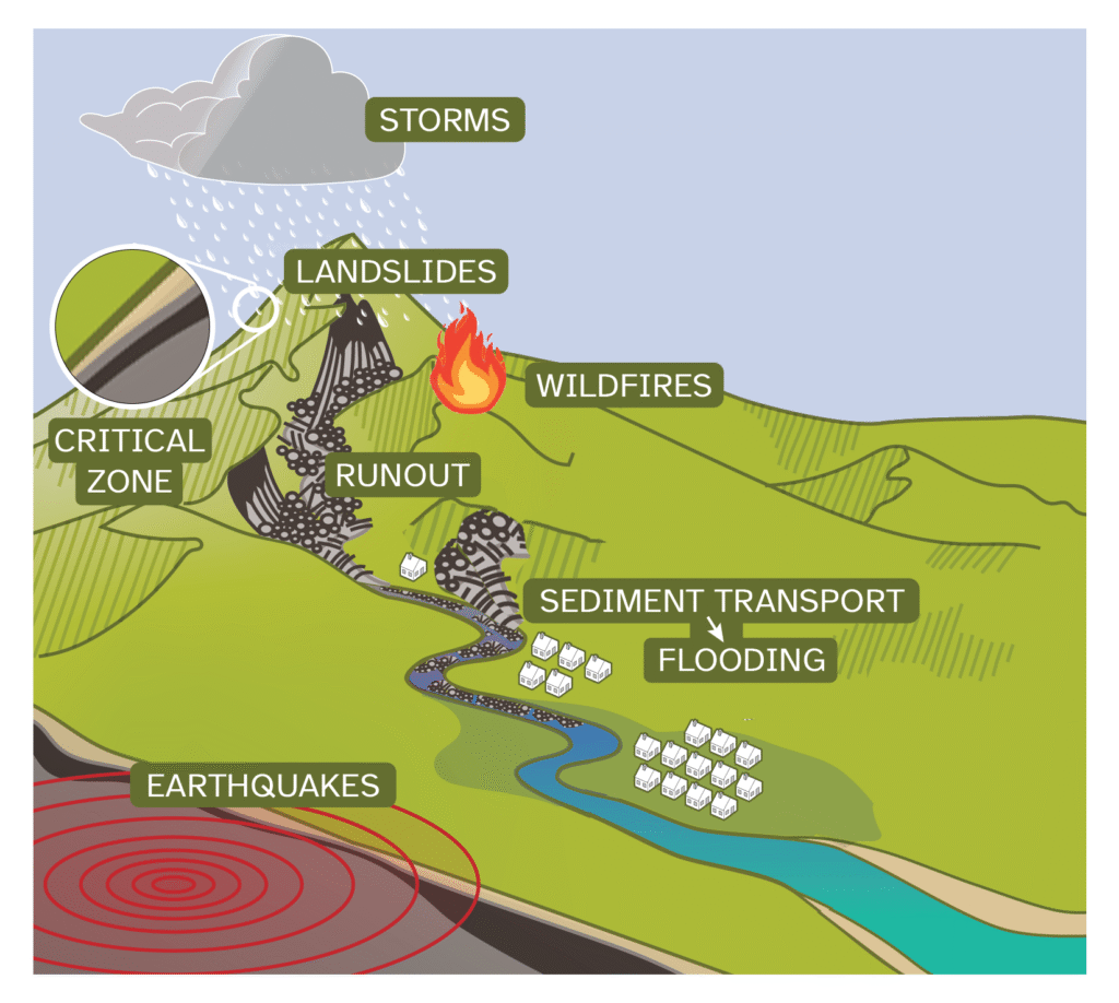
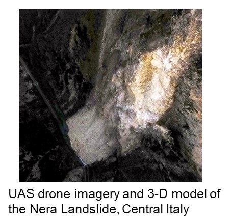
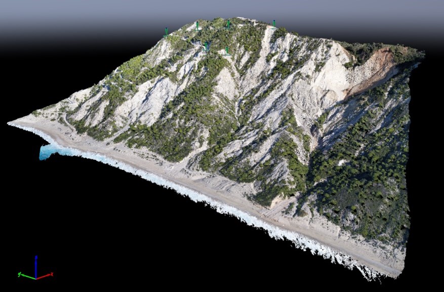
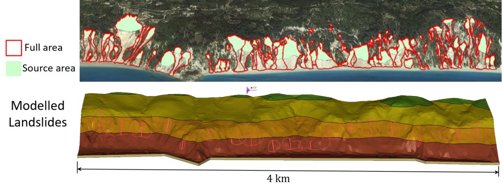
Professor Dimitrios Zekkos is co-PI of the Center for Land Surface Hazards (CLaSH), recently awarded a 5-year, $15million grant from NSF. CLaSH is a multi-institutional center headquartered at the University of Michigan, and it will develop new scientific frameworks and modeling tools to forecast and mitigate cascading natural hazards. Professor Zekkos aims to gain insights on cascading hazards by using state-of-the-art technologies and c ...
Center for Smart Infrastructure extends innovation partnership with EBMUD

UC Berkeley and the East Bay Municipal Utility District (EBMUD) announce a second-phase collaboration agreement to tackle infrastructure and operational challenges facing water and wastewater utilities. The Phase 2 funding of $2.8 million will build on the accomplishments of EBMUD’s initial funding, granted in 2021, to establish the university’s Center for Smart Infrastructure (CSI) and develop solutions for aging systems confronting na ...


