PhD students Gomberg and Kassem participate in GEER expedition to Puerto Rico to Map Precipitation-Induced Landslides after Hurricane Fiona
Nov 18, 2022

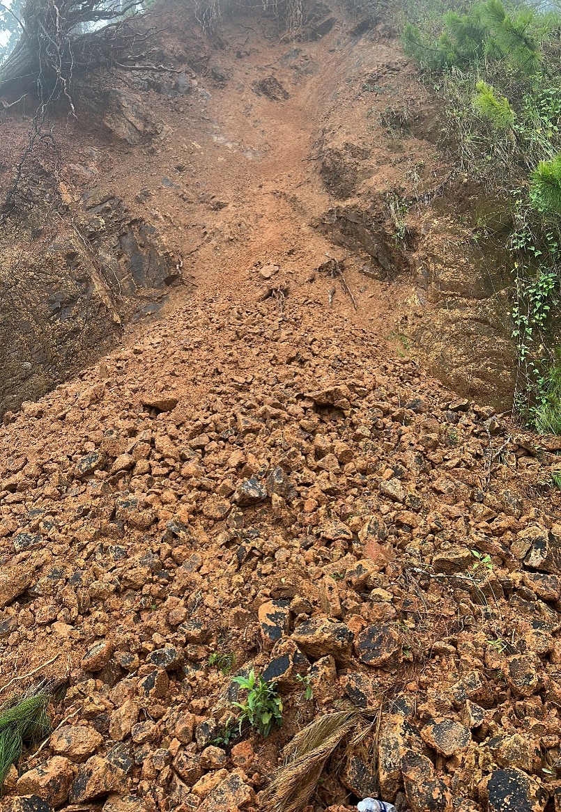
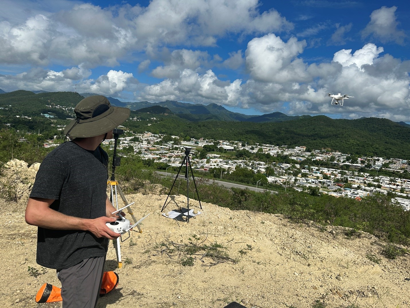
PhD students Drew Gomberg and Mirna Kassem, advised by Professor Dimitrios Zekkos, just returned from an expedition in Puerto Rico as part of a GEER (Geotechnical Extreme Event Reconnaissance) deployment. The one-week field deployment aimed to collect data about precipitation-induced landslides caused by the recent 2022 Hurricane Fiona. This was in collaboration with colleagues from the University of Puerto Rico (led by Prof. Alesandra Morales Velez, and Prof. Stephen Hughes), and the University of Michigan (Prof. Marin Clark, post-doc Stratis Karantanellis, and student Ries Plescher). The UC Berkeley and University of Michigan teams collected data on over 800 fresh landslides triggered by Fiona. In addition, the team, Gomberg and Kassem, performed UAV mapping to collect optical and infrared images to generate 3D models of selected landslides. The team also assessed the rock strength at several sites using the Schmidt hammer and Geologic Strength Index (GSI). This data will be particularly insightful in relating the different strength parameters to geologic units and failure patterns of slopes.
The expedition is expected to generate important insights on the failure mechanisms of the precipitation-induced landslides. This will be particularly useful in calibrating predictive regional landslide model simulations as part of Kassem’s PhD. The infrared UAV mapping of the landslides will be insightful as part of Gomberg’s research on relating temperatures to moisture content in soils and rocks. The expedition leverages previous data collection at the same area last May!
The aim of this expedition for both the GEER and the UC Berkeley teams is to be able to assist the local team in predicting and mitigating landslide hazards in future events.


