
GeoSystems Engineering

Breadcrumb

Zekkos, Sitar, and Kayen awarded Grant to introduce Virtual Reality and Mixed Reality on Geotechnical Engineering Education with a focus on natural disasters


Sep 22, 2021

Zekkos, Sitar, and Kayen awarded Grant to introduce Virtual Reality and Mixed Reality on Geotechnical Engineering Education with a focus on natural disasters

Zekkos, Sitar, and Kayen awarded Grant to introduce Virtual Reality and Mixed Reality on Geotechnical Engineering Education with a focus on natural disasters

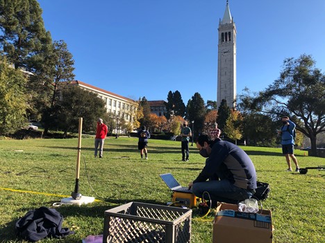
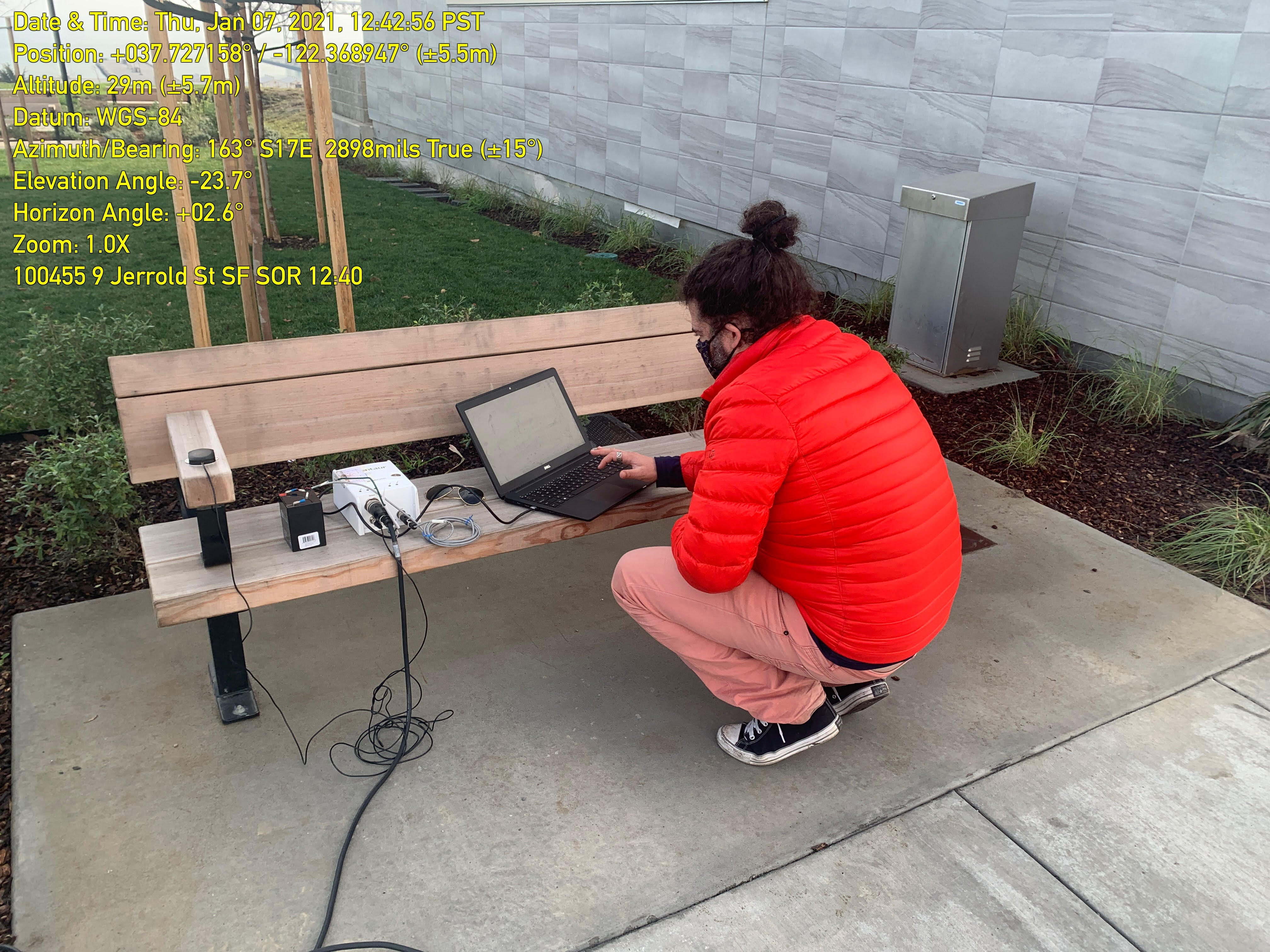
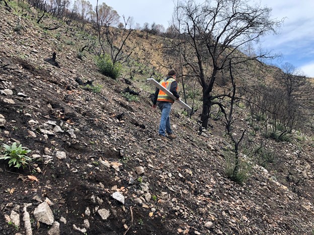
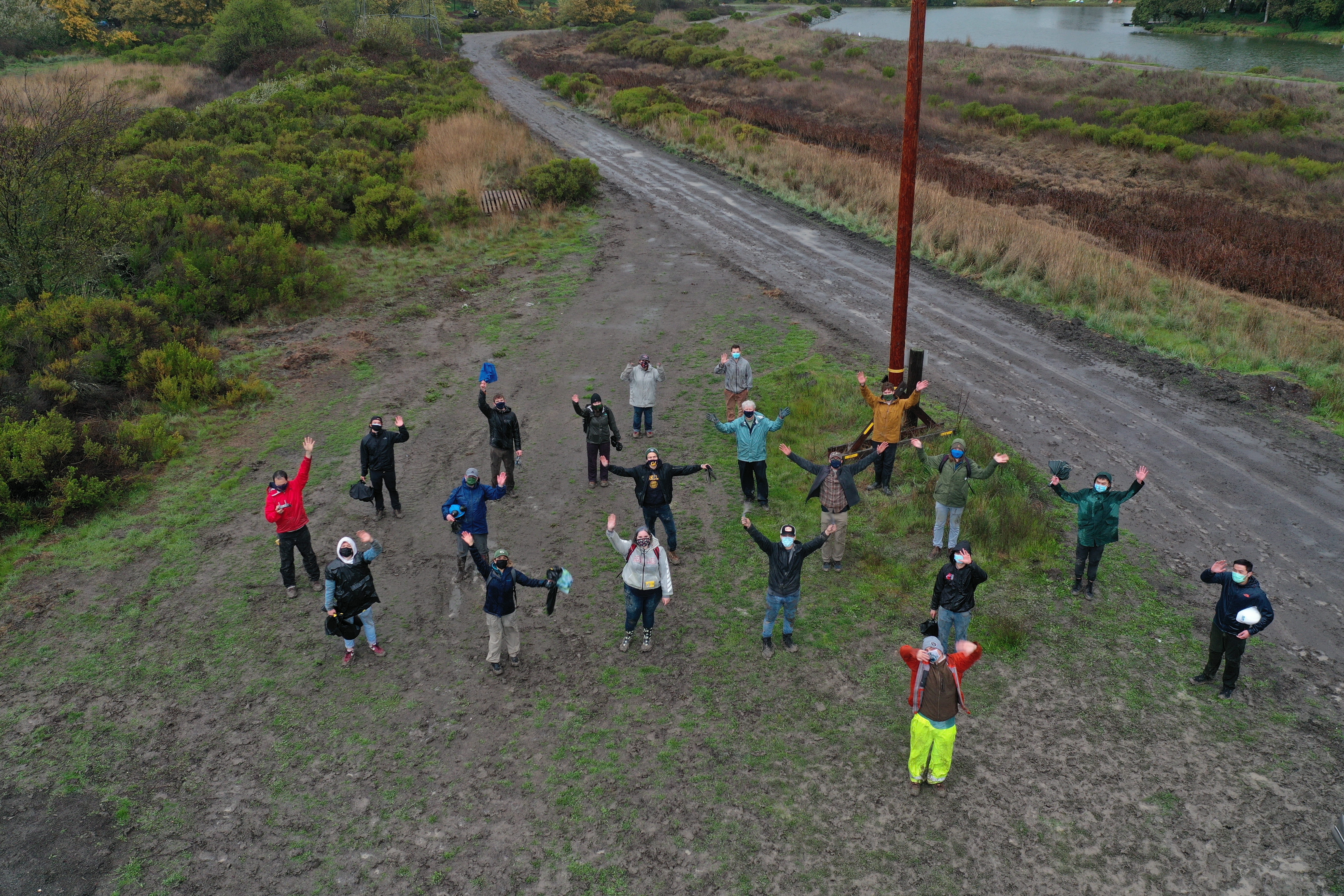
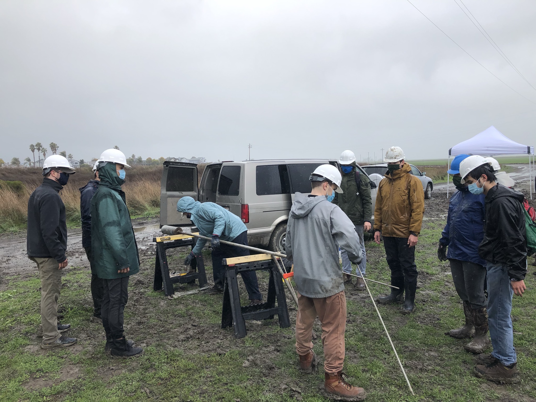
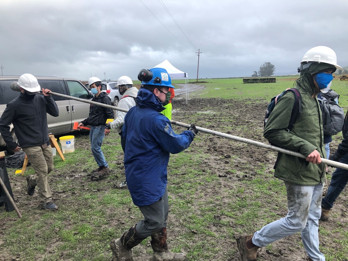
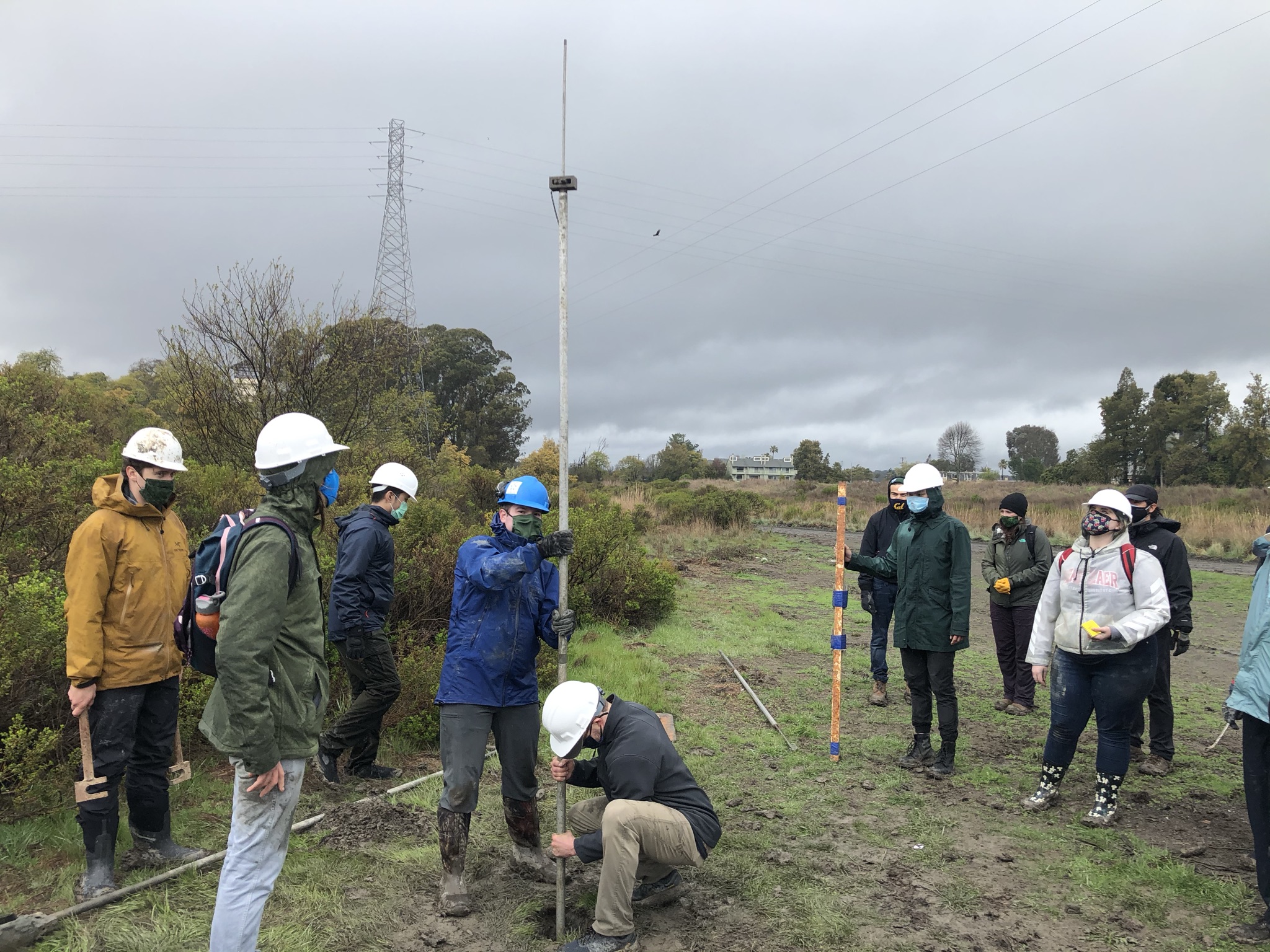
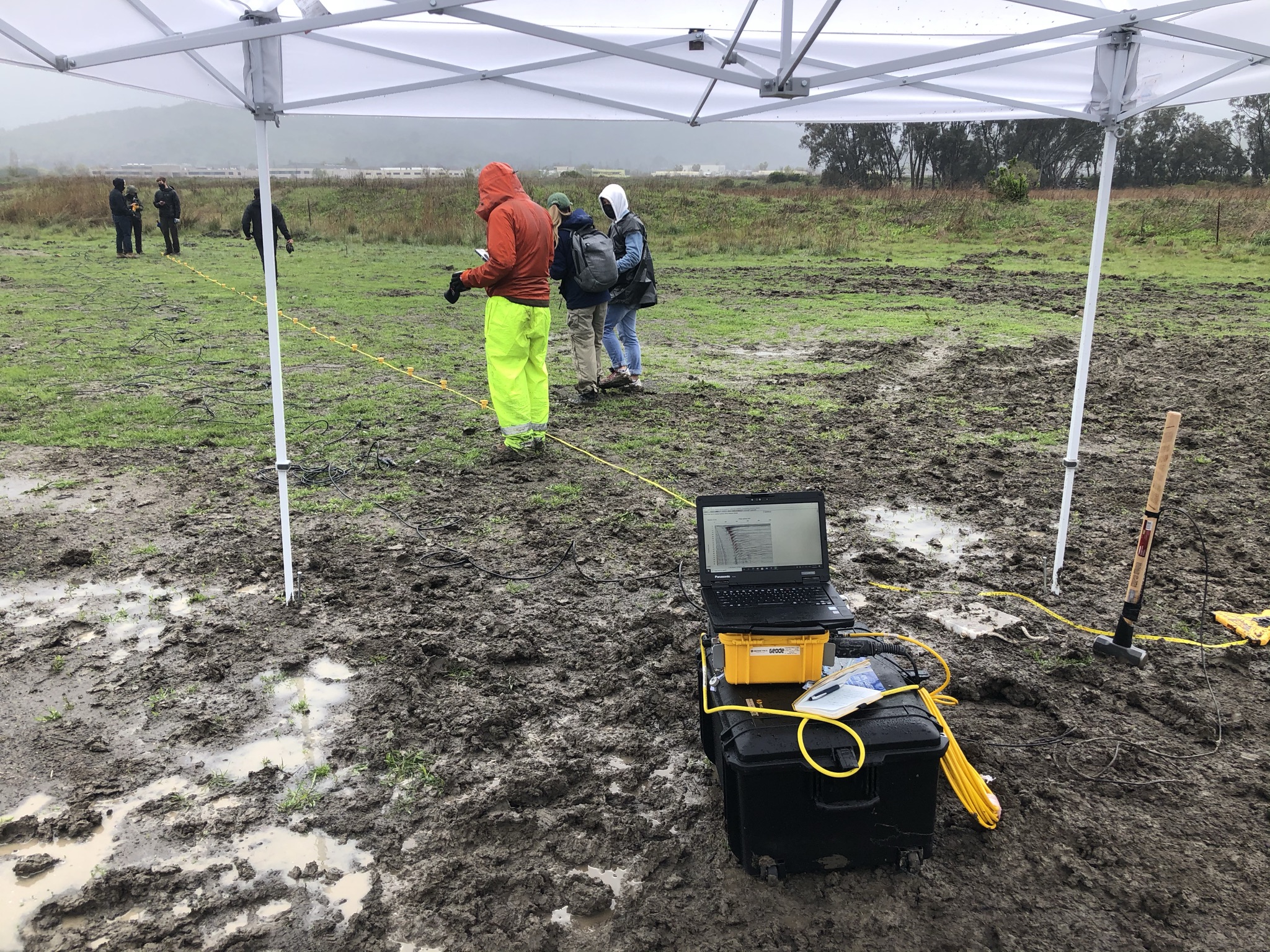
Geosystems Faculty, Prof. Dimitrios Zekkos, Prof. Nick Sitar, and Prof. Rob Kayen were awarded a grant with the goal to incorporate Virtual Reality (VR) and Mixed Reality (MR) throughout the undergraduate and graduate CEE curriculum.

The team will leverage VR and MR to (a) introduce students to ongoing research projects related to disaster response and engineering; (b) engage them on the course material covered; (c) conduct “hands-on” measurements on disaster-hit areas in a virtual environment, and (d) provide them with early-on memorable experiences of what a professional or research career may look like. Students will be given the unprecedented opportunity to experience field reconnaissance of natural hazards and ongoing research projects from the safety of the classroom.

The grant is part of the Berkeley Collegium Grant program. The Berkeley Collegium is charged with fostering innovation and excellence in undergraduate teaching at UC Berkeley and supports proposals that aim to narrow the gap between teaching and research at UC Berkeley. 

This activity is part of the initiatives supported by the Geosystems Sensing and Analytics Laboratory (GeoSAL).


Tags: Research , GeoSAL , Education , natural hazards , Virtual Reality , Mixed Reality

UC Berkeley Geosystems Group Acquires new Equipment for Geophysics Measurements for Use in Research and Education


Apr 23, 2021

UC Berkeley Geosystems Group Acquires new Equipment for Geophysics Measurements for Use in Research and Education

UC Berkeley Geosystems Group Acquires new Equipment for Geophysics Measurements for Use in Research and Education

Caption: Students and Faculty performing seismic measurements as part of classwork


The Geosystems program has recently expanded its capabilities in Geophysics. Just last year, with the addition of Prof. Robert Kayen of the USGS, the Geosystems group has expanded its seismic geophysics capabilities that now includes capabilities in Microtremor Array Methods (Spatial Autocorrelation [SPAC] and frequency-wavenumber [ƒ-K]), Horizontal-to-Vertical Spectral Ratios (HVSR), Multichannel Analysis of Surface Waves (MASW), and frequency -controlled continuous sine wave Spectral Analysis of Surface Waves (SASW), as well as traditional seismic reflection and refraction imaging methodologies.

This year, Prof. Adda Athanasopoulos-Zekkos and Prof. Dimitrios Zekkos acquired equipment for Multichannel Analysis of Surface Waves (MASW) using an array of 24 2-Hz geophones to measure the shear wave velocity, 3-component geophones, and data acquisition equipment for measurement of  H/V ratios, and a portable Electromagnetic Sensor to measure ground resistivity. The equipment is housed in a new Laboratory focused on field characterization and sensing (more on that soon!)

The seismic equipment has already been used in various research projects, including seismic characterization of sites, characterization of wildfire affected areas, and landslides. These testing capabilities are also incorporated into instruction as part of the CE170A course on "Infrastructure Sensing and Modeling" and the CE273 capstone course on Advanced Geotechnical Testing (more about this 
here). 

This investment in field data acquisition equipment will support the group's research efforts on system level assessment and field characterization efforts, that also involve other sensors such as fiber optics, wireless sensing, drones, and LiDAR sensors. The Geosystems group has now a large group of Faculty, including Prof. Kenichi Soga,  Prof. Steve Glaser, and Prof. James Rector, working in this exciting research area. 

Ph.D. Student Camilo Pinilla Ramos working with Prof. Kayen to collect HVSR data in San Francisco during the pandemic.


PhD student Parker Blunts collecting Electromagnetic measurements in the Santa Cruz CZU-wildfire affected area.
PhD student Parker Blunts conducting electromagnetic measurements in the Santa Cruz CZU-wildfire affected area.


Tags: General , Research , Education , Geophysics , Seismic Geophysics , Electromagnetic Geophysics

Geosystems MS students conduct geotechnical site characterization despite COVID19 and heavy rain!


Mar 31, 2021

Geosystems MS students conduct geotechnical site characterization despite COVID19 and heavy rain!

Geosystems MS students conduct geotechnical site characterization despite COVID19 and heavy rain!

On March 19 2021, Geosystems MS students were able to meet in person and perform field work near Bel Marin Keys  in Novato as part of CE273 “Advanced GeoEngineering Testing and Design” taught by Professor Michael Riemer and GSIs Joel Given and Bodhinanda.Chandra.

The optional activity was approved by the campus, subject to special safety precautions, as case counts had declined dramatically since January.  Even the persistent rain could not quell the enthusiasm as students enjoyed their first hands-on instruction and the chance to meet and work together toward their Spring design project.

Students conducted drilling, in situ testing and undisturbed sampling of Young Bay Mud, a tradition that goes back many decades. In addition, students performed shear wave velocity measurements using the Multichannel Analysis of Surface Waves (MASW) technique with the support of Prof. Dimitrios Zekkos, Brittany Russo and Parker Blunts.

All site exploration data will be processed in coming days by the students as part of their CE273 project. Below are a few photos from the day in the field.


Explaining and preparing a 5" diameter piston sampler.


Deployment  of sampler for Young Bay Mud
Deployment  of sampler for Young Bay Mud
Placement of sampler in borehole to target depth.
Students placing geophones to conduct shear wave velocity measurements


Tags: General , Education

The Geo-Infrastructure Monitoring Short Course was a Huge Success! 120 participants from 25 countries, 20 states, 47 companies and 28 universities


Jan 26, 2021

The Geo-Infrastructure Monitoring Short Course was a Huge Success! 120 participants from 25 countries, 20 states, 47 companies and 28 universities

The Geo-Infrastructure Monitoring Short Course was a Huge Success! 120 participants from 25 countries, 20 states, 47 companies and 28 universities

The short course on "New Technologies for Geo-Infrastructure Sensing and Monitoring was completed on January 22-23 2021 online and was a huge success!  Participation was capped to 120, due to overwhelming demand. A total of 120 participants from 25 countries, 20 states, 47 companies and 28 universities participated in the course instructed by Zekkos, Soga, Kayen and Johnson.

The short course had also a lot of time for discussion and the participants were very excited and engaged with lots of ideas, questions and feedback. The short course felt at times as a specialty conference with lively discussions, despite the different time zones of the various participants. 

Based on this very positive experience, the instructors will plan to organize a  new one in the foreseeable future. If you want to make sure you hear about it on time, please visit https://www.geoengfdn.org/ and add your e-mail! 

participants1


participants2

participants3

participants4


participants5


Tags: General , Education , Sensing , Monitoring , UAV , LiDAR , Fiber optics

January 22-23 2021: Short Course on "New Technologies for Geotechnical Infrastructure Sensing and Monitoring"


Dec 23, 2020

January 22-23 2021: Short Course on "New Technologies for Geotechnical Infrastructure Sensing and Monitoring"

January 22-23 2021: Short Course on "New Technologies for Geotechnical Infrastructure Sensing and Monitoring"

On January 22-23 2021, the UC Berkeley Faculty of the Geosystems group and collaborators are offering a 2-day short course on "New Technologies for Geotechnical Infrastructure Sensing and Monitoring". The course will  provide a review of some of the latest technologies that are about to, or are already impacting the way we design, maintain, or operate geo-infrastructure and the way we manage risk. Technologies to be discussed are sensor-equipped Unmanned Aerial Vehicles (or drones), 3D model creation using optical (Structure-from-Motion) and LiDAR, infrared sensing, Synthetic Aperture Radar (SAR), wireless sensing fundamentals, ShapeArray Accelerometers and distributed sensing using fiber optics. 

The instructors have significant expertise in the technologies presented and will outline the principles of operation and the advantages and disadvantages, as well as share examples of projects where these technologies have been successfully implemented.

Due to COVID, the course will be offered this year online, but can also accommodate participants in all time zones by making the recorded lectures available online.

More information, and registration (until January 15 unless course enrollment capacity is reached), for this course can be found here:
https://www.geoengfdn.org/ . 


Tags: General , Education , Monitoring , Sensing , UAV , LiDAR , Wireless sensors , Fiber optics

We thank the following platinum and gold sponsors for supporting our students:

ENGEO ROCKRIDGE GEOTECHNICAL GEOSYNTEC