GeoSystems Engineering

Geosystems Sensing and Analytics Laboratory (GeoSAL)
The Geosystems Sensing and Analytics Laboratory (GeoSAL) is housed at the Hearst Mining Building, about 1 min walk from Davis Hall. GeoSAL enables modern techniques for field characterization, in-situ testing, field sensing and monitoring of infrastructure and the geoenvironment.
GeoSAL promotes multi-scale, integrated, innovative sensing at the component (local) and system (regional) level. Key to leveraging the sensing capabilities is the ability to analyze big data collected by our sensors, robots and satellites using customized scripts and Artificial Intelligence algorithms.
Field Equipment
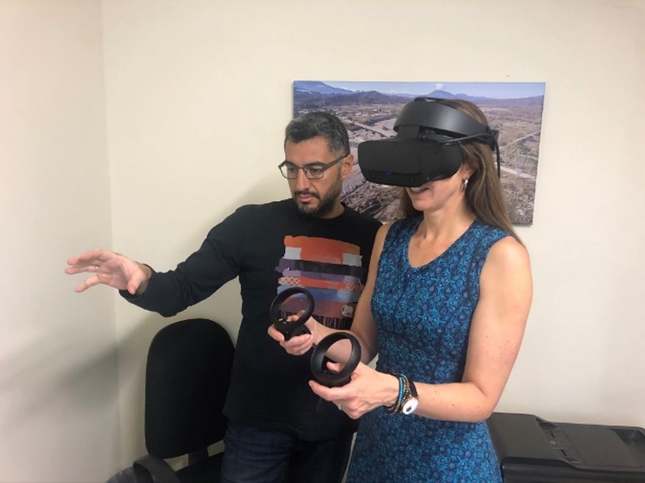
Virtual & Mixed Reality Hub
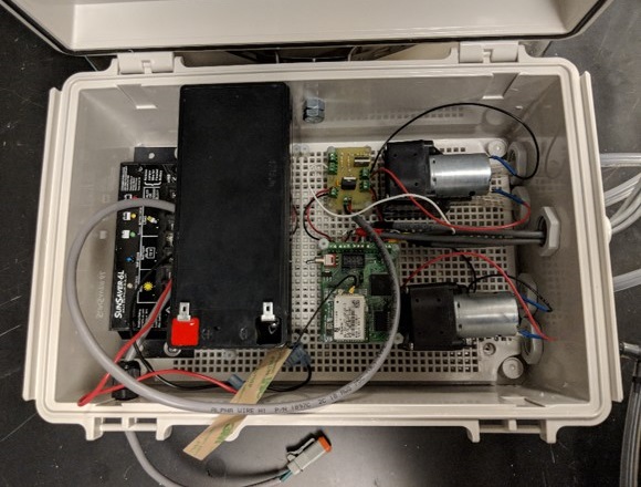
Sensor Development
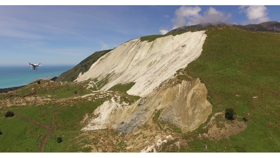
Disasters Response Hub
Big Data Analytics
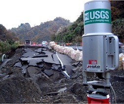
GeoSAL houses a diverse and unique set of Field testing and Monitoring equipment that is used in support of our Research and Education Mission.
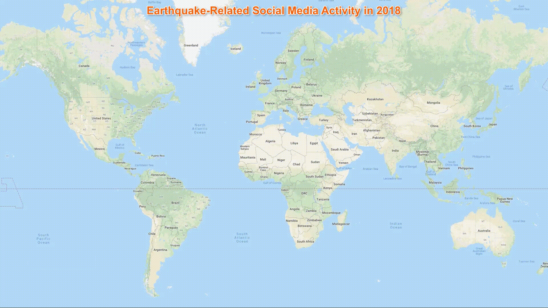
GPS
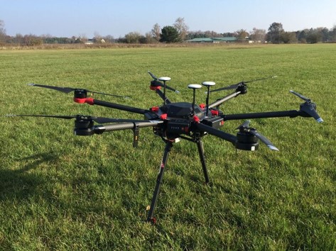
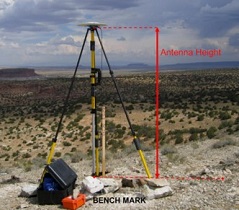
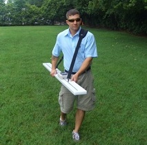
Fleet of Unmanned Aerial Vehicles
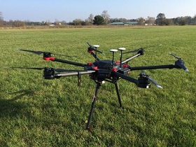
Optical, Infrared & Laser Sensors
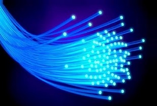
Distributed Fiber Optic Sensing
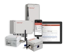
Wireless Sensor Networks
LiDAR
Electromagnetics
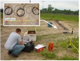
Seismic Geophysics
Equipment capabilities include:
- Equipment for subsurface characterization
- A Dynamic Cone Penetrometer
- A Dynamic Penetration Test
- A wide range of survey-grade GPS systems
- A fleet of Unmanned Aerial Vehicles
- A range of optical, infrared and Laser sensors that are mounted on our robots
- Distributed Fiber Optic Sensing
- Terrestrial Light Detection and Ranging (LiDAR)
- Electromagnetic Sensors
- Seismic Geophysics equipment for Surface Waves: Microtremor Array Methods (Spatial Autocorrelation [SPAC] and frequency-wavenumber [�-K]), Horizontal-to-Vertical Spectral Ratios (HVSR), Multichannel Analysis of Surface Waves (MASW), and frequency -controlled continuous sine wave Spectral Analysis of Surface Waves (SASW)
- Seismic Geophysics equipment for Body waves: Seismic reflection and refraction tomography
- Wireless Sensors for Wireless Sensor Networks
- Computing Facilities for Data Analysis
- Virtual and Mixed Reality Hub
If you are interested in collaborating with GeoSAL, please contact Prof. Dimitrios Zekkos or directly any of the Faculty members of the Geosystems Group.
Latest Research News
Maksymilian Jasiak presents at SHMII-13 at TU Graz, Austria

PhD candidate Maksymilian Jasiak presented “Water distribution pipeline anomaly detection using distributed acoustic sensing (DAS)” at the 13th International Conference on Structural Health Monitoring of Intelligent Infrastructure (September 1-5, 2025) hosted by TU Graz, Austria. This work was in collaboration with Shih-Hung Chiu, Jaewon Saw, Peter Hubbard, David Katzev, and Kenichi Soga. Read the article for key takeaways. ...
Dimitrios Zekkos co-leads new 5-yr NSF Center on Geohazard Cascades
Professor Dimitrios Zekkos is co-PI of the Center for Land Surface Hazards (CLaSH), recently awarded a 5-year, $15million grant from NSF. CLaSH is a multi-institutional center headquartered at the University of Michigan, and it will develop new scientific frameworks and modeling tools to forecast and mitigate cascading natural hazards. Professor Zekkos aims to gain insights on cascading hazards by using state-of-the-art technologies and c ...
Center for Smart Infrastructure extends innovation partnership with EBMUD

UC Berkeley and the East Bay Municipal Utility District (EBMUD) announce a second-phase collaboration agreement to tackle infrastructure and operational challenges facing water and wastewater utilities. The Phase 2 funding of $2.8 million will build on the accomplishments of EBMUD’s initial funding, granted in 2021, to establish the university’s Center for Smart Infrastructure (CSI) and develop solutions for aging systems confronting na ...
Research collaboration advances sensing and modeling for resilient cities

A joint research effort, led by Professor Kenichi Soga and composed of CITRIS and Kajima Corporation, is advancing the future of resilient, data-driven infrastructure through real-world deployment. One major research project uses long-range fiber optic cables to detect subtle vibrations in the ground, providing real-time insights into subsurface condition. This technology’s high resolution and accuracy can be used to monitor buried i ...
Zekkos to give State-of-the-Art Talk on Autonomy in Landfills at Geofrontiers conference
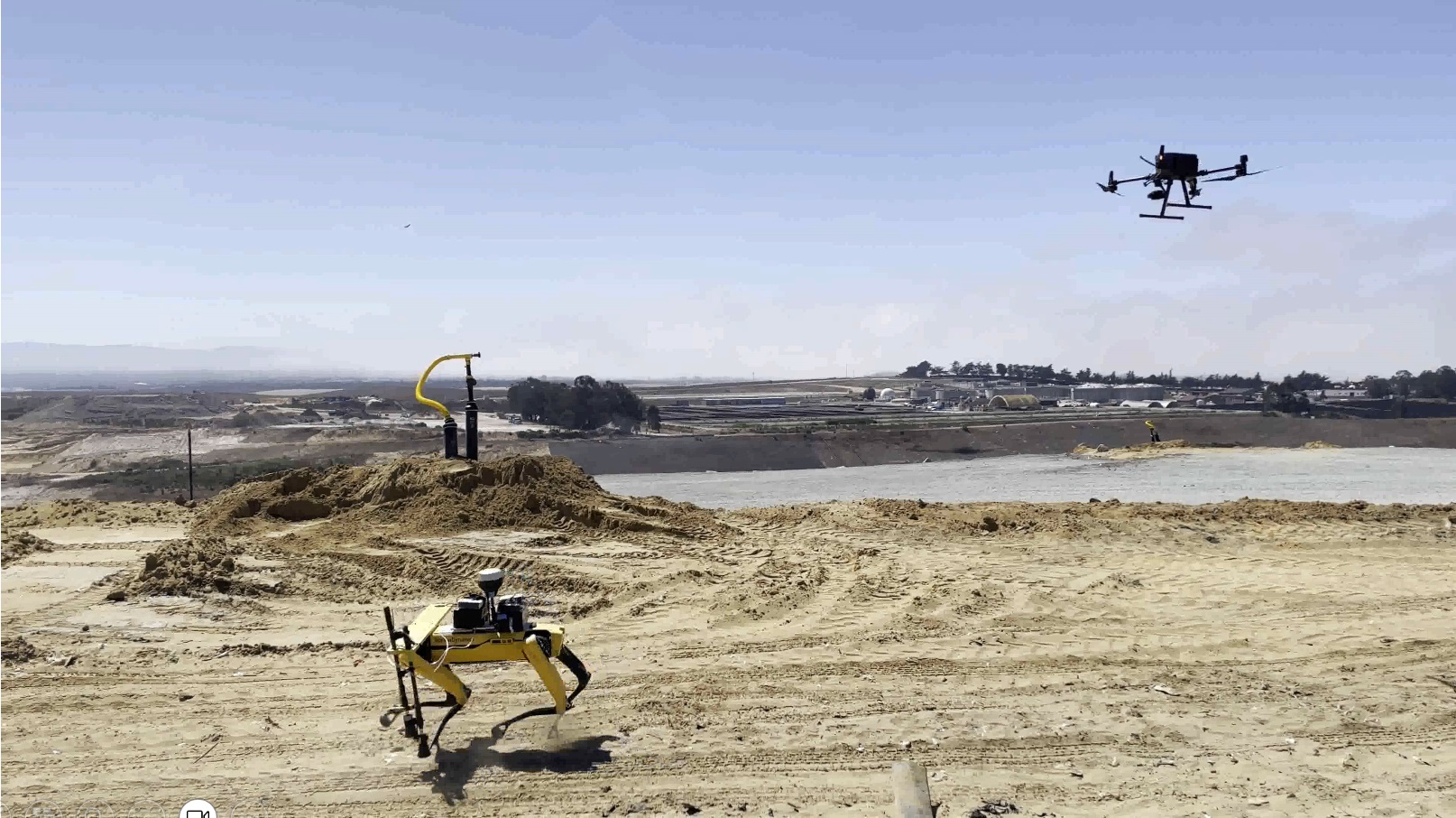
Prof. Dimitrios Zekkos will deliver a State of the Art talk on "Autonomous characterization of full-scale field response of Municipal Solid Waste" at the Geofrontiers conference. The talk will describe the opportunities for better insights into the full-scale response of Municipal Solid Waste in landfills by incorporating autonomy. The talk will include specific examples of applications related to settlement behavior and methane emissions. T ...
We thank the following platinum and gold sponsors for supporting our students: